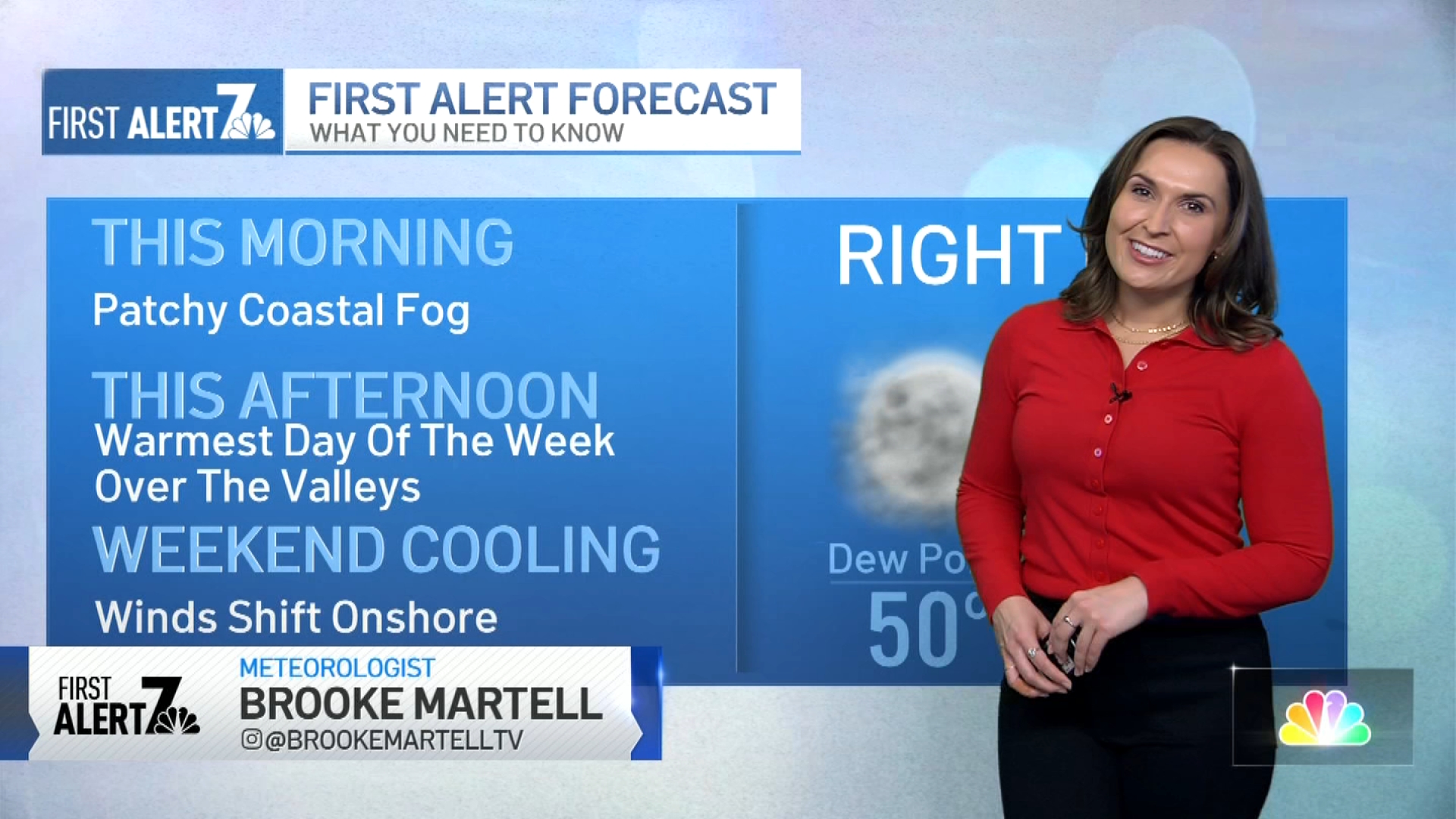
We again have patchy fog, but it’s concentrated at the coast this time. We will have better chances to clear from the coast to the valleys this morning and afternoon.
High-pressure building over the west and offshore flow will make this the warmest day of the week for our valleys. Daytime highs will trend about 10-17 degrees above the seasonal norm.
Breezy to gusty easterly winds are forecasted this morning and afternoon for our usual wind-prone areas (Campo, Pine Valley, Julian, and Ramona) with gusts from 20-25 mph. With low humidity in the forecast and dry conditions persisting, the fire threat remains in the forecast.
Winds will shift onshore Friday and through Saturday, which will cool us down to our near seasonal norms. Weak offshore flow is expected to develop Sunday through Monday which will warm us up again. There is a chance we could have another mild to moderate Santa Ana event next week. More details on that to come.
Get top local stories in San Diego delivered to you every morning. >Sign up for NBC San Diego's News Headlines newsletter.
Our dry streak will also continue in the New Year. We have gone nearly three weeks since our last measurable rain at San Diego's airport, and we're not expecting any in the coming days. It was an interesting year for San Diego's rain with a fast start and a very slow finish. See below.

A volcano is hiding in Carlsbad's Calavera Nature Preserve
Weather
THURSDAY
- Coast: AM Fog, PM sunny- low to upper 60s
- Valleys: sunny, warmer - highs around 80
- Mountains: sunny, dry, breezy - low to mid 60s
- Desert: Sunny - low-70s


