
Our cool weather continues. Clouds will mix turning partly cloudy this afternoon, with possible light rain overnight into Monday morning.
We are expecting light rain with a cold front sweeping across the county Monday morning. Most places will see light with totals between 0.01-0.10". The best chance for rain will be in the norther part of the county.

Ahead of the cold front, the winds will become stronger in the mountains and deserts today with gusts around 30-40 mph, becoming stronger on Monday gusting between 40-50mph.
Get top local stories in San Diego delivered to you every morning. Sign up for NBC San Diego's News Headlines newsletter.
Monday will also be the coldest day of the week with temperatures anywhere from 15 to 20 degrees below normal, giving us a brief taste of fall.
The sunshine returns on Tuesday but temperatures will remain below average. Another storm system will pass to our north Wednesday into Thursday, so expect to see plenty of cloud cover near the coast and another chance for light showers possibly.
Our warm weather is not over yet, temperatures go back to near normal with 80s for the coast and 90s inland in time for the weekend.
The fall equinox will happen on Sunday the 22nd at 5:43am but it won't feel fall, we stay warm into next week.
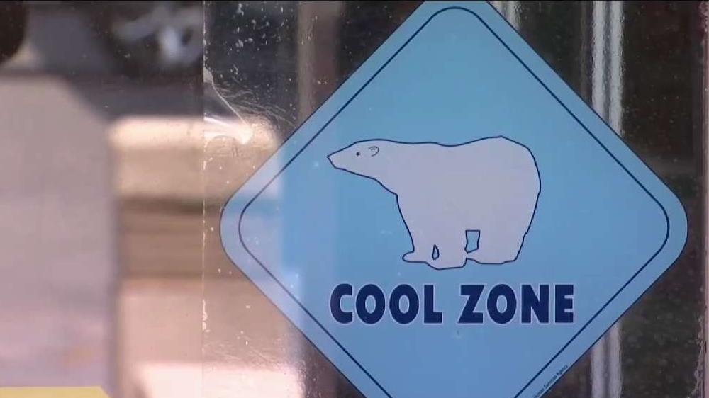
Here's how you can stay safe as heat wave grips San Diego County
More on heat:

SUNDAY
- Coast: clouds to partial sun - low to mid 70s
- Inland: clouds to sun - upper 70s
- Mountains: sunny - mid to low 70s
- Deserts: sunny - upper 90s