
We’re expecting light rain as a cold front moves across the county from Sunday night into Monday morning. The best chance for rain will be in the northern part of the county. Most areas will see light rain, with totals between 0.01 and 0.10 inches, which could make the roads wet and slippery for your morning commute. You might want to give yourself some extra time before heading out.
Most of the shower activity is expected to occur on Monday morning; however, some isolated showers may linger into Monday afternoon along the coastal slopes of the mountains.

On Monday, expect winds to pick up in the deserts, ranging from 20 to 35 mph, with gusts between 45 and 55 mph. A Wind Advisory will be in effect for the deserts from 11 a.m. to midnight. Even along the coast and in the valleys, it will be somewhat breezy, with winds of 15 to 25 mph expected in the afternoon.
Get top local stories in San Diego delivered to you every morning. Sign up for NBC San Diego's News Headlines newsletter.
Monday will also be the coldest day of the week with temperatures anywhere from 15 to 25 degrees below normal, giving us a brief taste of fall.
Sunshine returns on Tuesday but temperatures will remain below average. Another storm system will pass to our north Wednesday into Thursday, so expect to see plenty of cloud cover near the coast and another chance for light showers possibly.
Our warm weather isn't over yet. Temperatures are expected to warm up by the weekend, with daytime highs in the 80s along the coast and 90s in the inland valleys with overall temperatures across the county slightly above average.
The fall equinox will happen on Sunday the 22nd at 5:44am but it won't feel fall, we stay warm into next week.
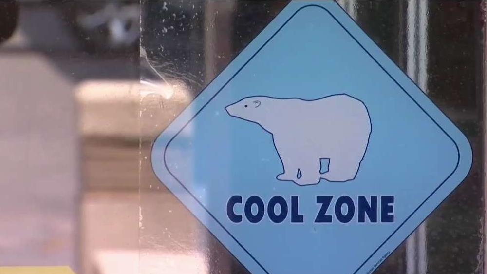
Here's how you can stay safe as heat wave grips San Diego County
More on heat:

MONDAY
- Coast: cloudy & breezy - upper 60s to low 70s
- Inland: mostly cloudy & breezy - upper 60s to low 70s
- Mountains: mostly sunny & breezy - upper 50s to low 60s
- Deserts: Blowing dust & windy - low 80s