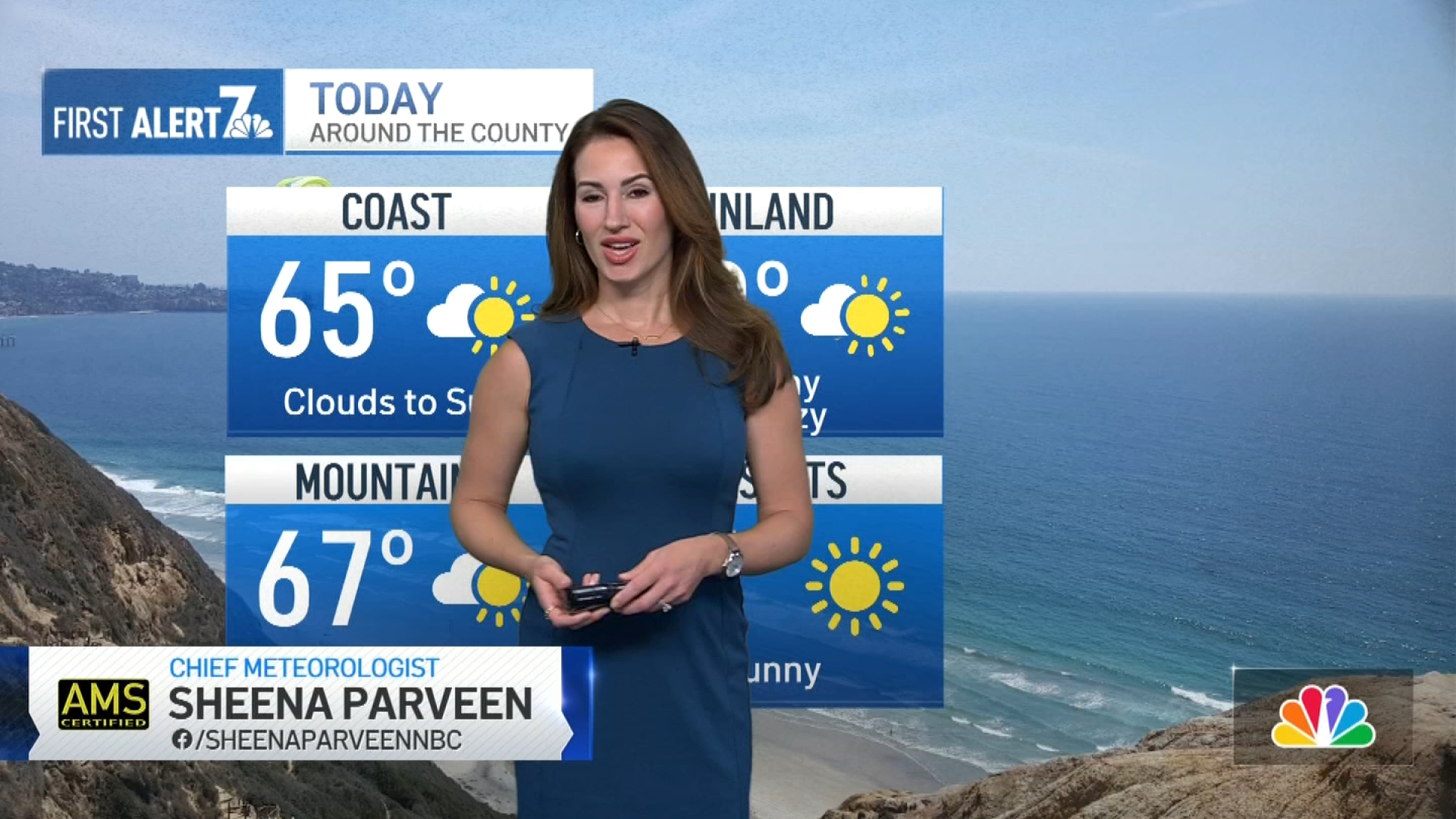
Wednesday morning will start out cloudy once again. The low clouds could reach all the way to our eastern valleys and foothills, which could mean poor visibility for those elevated communities like Ramona or Alpine on Wednesday morning.
Expect gradual clearing through the day today with similar highs as yesterday afternoon. Our weather pattern begins to cool more on Friday with a stronger onshore flow. Clouds will increase Friday ahead of a cold front for the weekend.
The cold front will swing through the area on Saturday with a slight shower chance. Weekend temperatures will be cooler than normal by about 10 degrees inland and 5 degrees near the coast.
We warm back up next week.
Get top local stories in San Diego delivered to you every morning. Sign up for NBC San Diego's News Headlines newsletter.
WEDNESDAY
- Coast: AM Clouds, PM Partial Clearing - low to mid 60s
- Inland: clouds/fog to sun - upper 60s to low 70s
- Mountains: mostly sunny, breezy - low 60s
- Deserts: sunny - 88
Copyright City News Service


