


Now that we’ve reached the Autumnal Equinox, the length of daylight will decrease each day until the Winter Solstice.
During the fall season, temperatures will significantly cool at night and in the early morning hours. However, it’s important to remember that coastal communities and valleys may still experience hot temperatures and a bigger threat of fire danger due to Santa Ana winds and offshore flow that often develops in October and November.


While we’re not anticipating a major heat wave with extreme temperatures, Monday and Tuesday are expected to be the hottest days of the week. For the valleys and foothills, temperatures will rise into the upper 80s and mid-90s as high pressure strengthens, marking a return to above-average levels. This trend will take us through Tuesday before temps start to taper again.
Get top local stories in San Diego delivered to you every morning. Sign up for NBC San Diego's News Headlines newsletter.
We’ll have an overcast start to the morning for most of the county ahead of the afternoon clearing for our valleys, mountains, and deserts. There was a good amount of dense fog over our valleys this morning, limiting visibility on the roads for drivers. As a reminder, when driving through dense fog, increase the following distance, turn on low beams, and slow down.
For the rest of the week, temperatures will cool slightly but remain above average for this time of year due to a warm air mass.
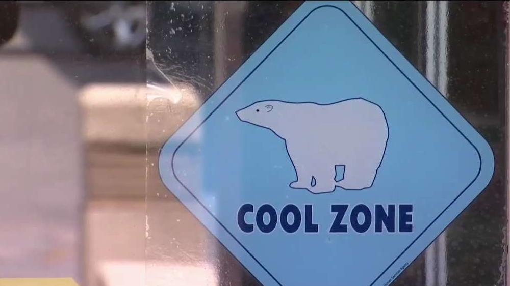
Here's how you can stay safe as heat wave grips San Diego County
More on heat:


Monday
- Coast: clouds and sun- mid to upper 70s
- Inland: mostly sunny - upper 80s to mid-90s
- Mountains: sunny - mid to upper 80s
- Deserts: sunny - 100 to 107 degrees
