What to Know
- The National Weather Service extended the excessive heat warning through 8 p.m. Wednesday for all areas
- Flex Alert stretched into Sunday from 4 to 9 p.m.
- San Diego County's heat wave is expected to continue into the week, except at the highest mountain elevations
The searing heat that has baked San Diego County in recent days is expected to continue through the Labor Day weekend, with excessive-heat warnings in place into next week.
The National Weather Service extended the excessive heat warning through 8 p.m. Wednesday for all areas. It said it appears that any significant cooling will be delayed until Friday.
Get top local stories in San Diego delivered to you every morning. >Sign up for NBC San Diego's News Headlines newsletter.
On Saturday, San Diego's high temperature of 95 broke the 1998 record high of 92, while Chula Vista's high of 96 broke the 1955 record high of 94.
"We are anticipating this extreme heat to be a length and duration the likes of which we haven't experienced in some time," Gov. Gavin Newsom said Wednesday. "Yes, we're used to record-breaking temperatures, maybe a day or two, more episodic, but this is an extended period."
The California Independent System Operator, which manages the power grid, has called for multiple evening Flex Alerts, including 4 to 9 p.m. Sunday, urging the public to limit their use of power during that period.
"With excessive heat in the forecast across much of the state and Western U.S., the grid operator is expecting high electricity demand, primarily from air conditioning use, and is calling for voluntary conservation steps to help balance supply and demand," according to Cal-ISO.
San Diego County's heat wave is expected to continue into the week, except at the highest mountain elevations, the NWS said. Isolated thunderstorms may develop in the afternoons over the mountains and drift west into the valleys and coastal areas as Tropical Storm Javier lifts north off the Baja coast through Sunday, forecasters said, but the main threat continued to be lightning.
Beating the Heat
The heat wave began Monday, then intensified Tuesday and Wednesday.
Campo reported a record high of 105 for Aug. 31, tying the mark set in 1998.
"Drink plenty of fluids, stay in an air-conditioned room, stay out of the sun, and check up on relatives and neighbors," the NWS advised. "Young children and pets should never be left unattended in vehicles under any circumstances."
Forecasters also urged residents to be aware of the signs of heat stroke.
"Take extra precautions if you work or spend time outside," the NWS cautioned. "When possible reschedule strenuous activities to early morning or evening. Know the signs and symptoms of heat exhaustion and heat stroke. Wear lightweight and loose-fitting clothing when possible. To reduce risk during outdoor work, the Occupational Safety and Health Administration recommends scheduling frequent rest breaks in shaded or air-conditioned environments. Anyone overcome by heat should be moved to a cool and shaded location."
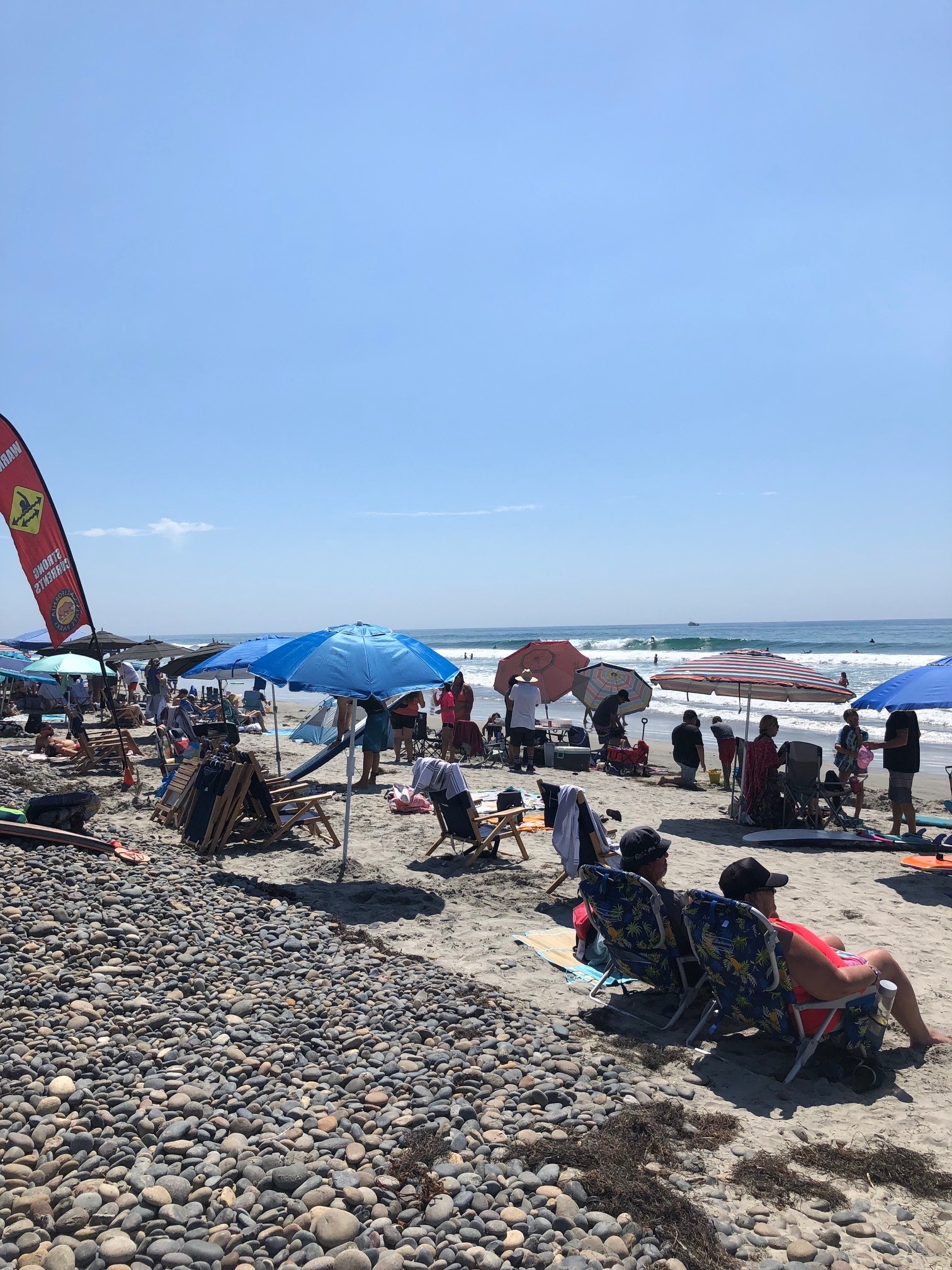
Temperatures will be more manageable at the beaches during the extra-hot spell, but will still climb into the upper 80s. Overnight lows will not offer much relief, staying in the 70s and even in the low 80s in some of the hotter areas.
Meanwhile, with Flex Alerts expected to continue into next week, particularly on Sunday and Monday -- which are forecast to have the highest electricity demand -- residents are urged to take power-saving steps including:
- Setting thermostats to 78 degrees or higher;
- Avoiding use of major appliances;
- Turning off unnecessary lights; and
- Avoid charging electric vehicles.
Residents are also advised to pre-cool their homes as much as possible, and close blinds and drapes to keep interiors cool.


