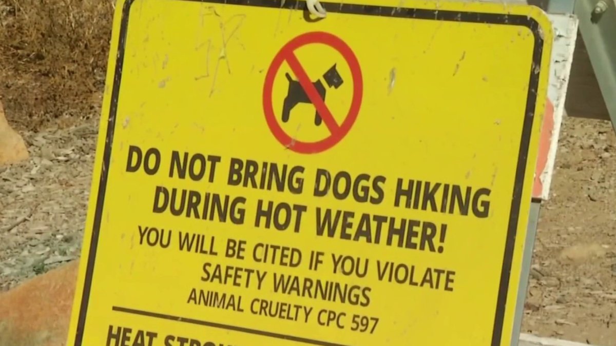
San Diegans hit the hiking trails early Saturday morning to avoid the late day heat. NBC 7’s Ramon Galindo spoke with hikers in Mission Trails.
San Diego is expected to see more record-breaking temperatures this weekend as Santa Ana winds push warm and dry conditions into the region.
San Diegans began to feel the warm-up on Thursday and four locations around the county including, Santa Ana, San Diego, Vista and Escondido broke their previous record for daily maximum temperatures on Friday.
By 9 a.m. Saturday morning most cities across the inland valleys were already in the mid-70s, and coastal areas will be hovering over the upper 60s and low 70s, NBC 7's Brooke Martell said.
Get top local stories in San Diego delivered to you every morning. Sign up for NBC San Diego's News Headlines newsletter.
The heat is a result of high pressure off the coast of California coupled with the offshore flow.
The warming trend is going to leave the region vulnerable to wildfires, according to the National Weather Service. Forecasters did not issue red flag warnings but did predict fire weather conditions.

Local
Starting Sunday, the pressure system creating the warm-up is expected to break down and the start of next week should be cooler.
Weekend Highs
Coastal: 84 Thursday, 87 Friday and 82 Saturday
Inland: 90 Thursday, 91 Friday and 89 Saturday
Mountains: 72 Thursday, 73 Friday and 75 Saturday
Deserts: 88 Thursday, 90 Friday and 89 Saturday
How Are Santa Ana Winds Different?
Santa Ana winds occur between September and May and are thus synonymous with fire season in San Diego. They flow in a southwestern curve over the mountains into San Diego, bringing along dry, warm air.
A process called adiabatic heating helps heat the air and suck out its moisture as it passes over the mountains to our east. Low humidity, winds and high temperatures together present the perfect environment for wildfires to spark and spread quickly.
As the wind rolls down off the mountain the air mass compresses, adding about 5.5 degrees of heat for every 1,000 feet of elevation drop, according to Meteorologist Ana Cristina Sanchez.
For example, the town of Julian sits just above 4,000 feet above sea level while Ramona rests at around 1,500 feet. Under a Santa Ana wind event, we could see around 15 degrees of temperature difference between the two towns. This helps explain why we see unseasonably high temperatures everywhere except the mountains in Midcap's high temperature forecast for this weekend.
Sign up for our Breaking news newsletter to get the most urgent news stories in your inbox.

