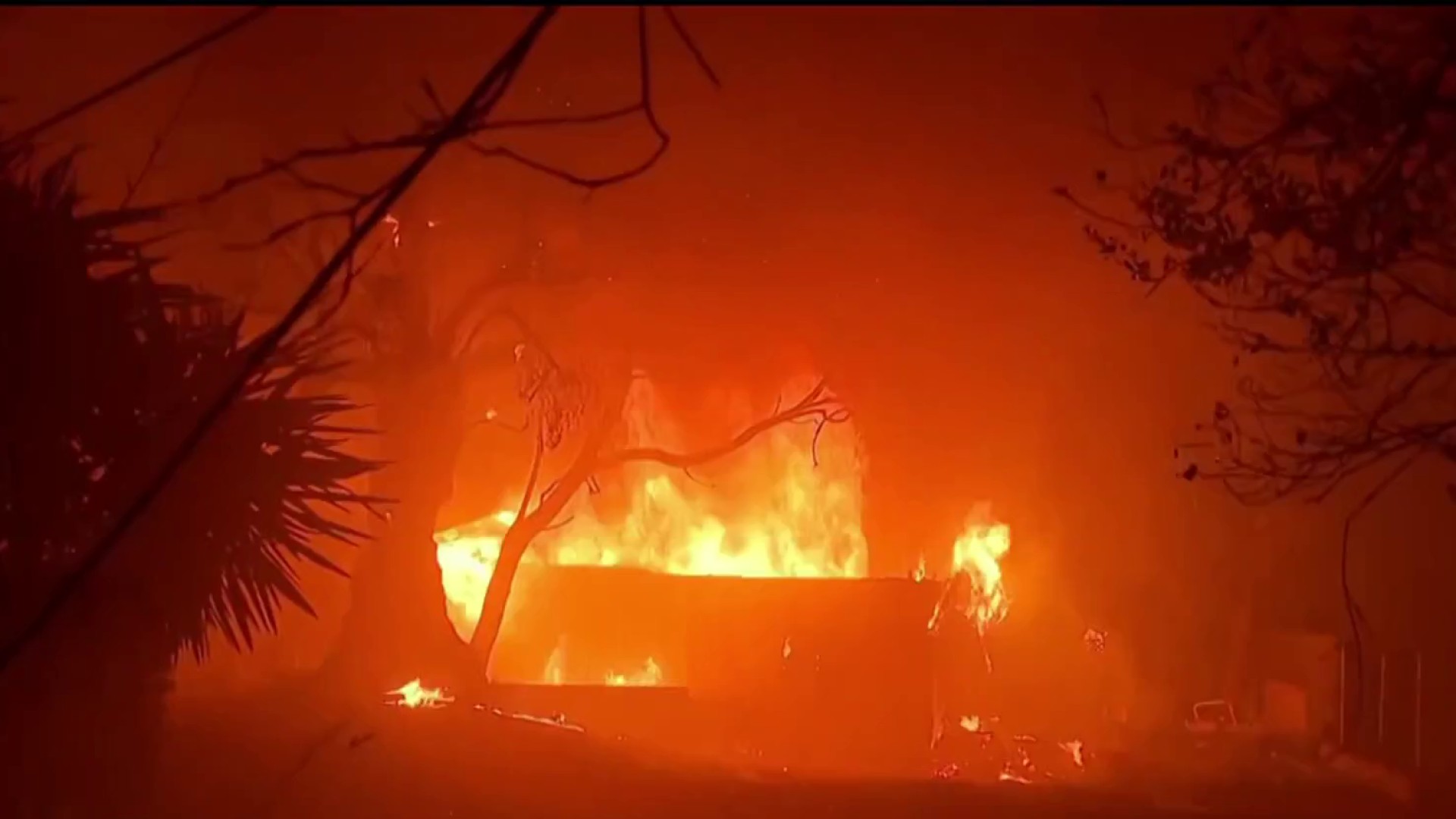
NBC 7’s Francella Perez explains why this winter has been some of the county’s driest in over a century.
San Diego County is experiencing the driest start to the water year in recorded history, according to meteorologists, but some climatologists are hopeful that a La Niña could mean rain on the horizon.
The meteorological water year -- the “rainy season” -- starts on Oct. 1 and, so far, San Diego County has only received a little over a tenth of an inch of rain, leaving a rain deficit of almost four inches.
As a result, moisture in vegetation, both in living and dead plants, is at critically dry levels, making them far more flammable in the event of wildfires.
“So the longer we go into January, the worse it gets, right? And now we have fallen into first place," National Weather Service Meteorologist Alex Tardy said. “So we've never seen a time since 1860 that has started off our rainy season, or the winter or the water year this dry.”
Get top local stories in San Diego delivered to you every morning. Sign up for NBC San Diego's News Headlines newsletter.
San Diego is now officially the driest start to the water year (since October 1) with only 0.14 inches so far putting it in first place #dry #climate #socal #cawx but in contrast far northern California is much above averages pic.twitter.com/MjDTXKUP9l
— NWS San Diego (@NWSSanDiego) January 10, 2025
The water year runs from October 1st to September 30 with the wettest months typically being January and February.
“When you miss the whole month like December, January, when you miss two months, it just gets rreally difficult to make up for it.”
While southern California has been dry with little to no rain, Northern California has been experiencing frequent and heavy rainstorms, leading to a wetter water season.
According to the NWS, their snowpack is already 100% of its average and reservoirs are full -- and that could help San Diego, too. San Diego County gets much of its water supply from Northern California and from the Colorado system to our east.
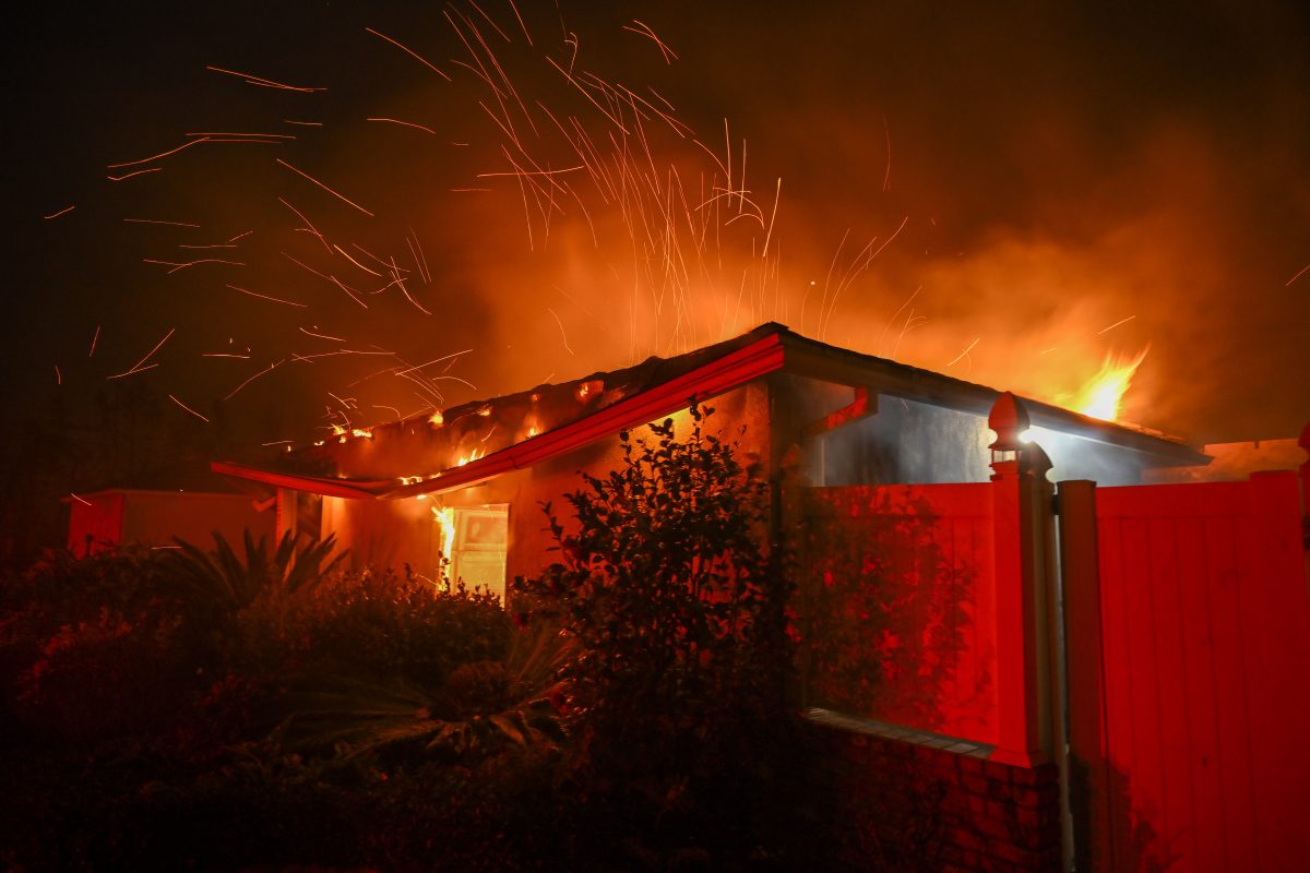
Unfortunately, that won’t protect us from the threat of wildfires.
“Santa Ana winds have always occurred in December/January. Our biggest and strongest ones, even in recent years have occurred in January, and that is what's presenting these severe fire weather conditions," Tardy said. And that is why the fire behavior we see up in LA is so extreme. It's all coming together."
On top of the winds, there is plenty of dry fuel to burn after several wet winters, said Julie Clancy, Climatologist for Scripps Institution of Oceanography.
"For drought, we look at the lack of precipitation and so the moisture that's missing for that but also the drying conditions for that, Clancy said. "Drought is really this lack of rainfall but this drying of landscape due to temperature, winds, humidity."
Much of Southern California has entered the moderate drought category as we enter 2025. The U.S. Drought Monitor attributed the change to above-average temperatures and below-average precipitation. It's estimated nearly 19 million Californians are in drought areas.
The question now is how long could the dry conditions last? Clancy said in the next two to three weeks Southern California could see some rain and firefighters would love some help from Mother Nature to keep dry brush from burning.
Climateologists are also tracking the possibility of a La Niña year, and trying to determine how that will affect weather patterns.
A La Niña occurs when the surface water temperatures in part of the Pacific Ocean, which can change tropical rainfall patterns and affect weather across the globe.
A typical La Niña pattern favors rain over the Pacific Northwest with drier than normal conditions for Southern California. But the strength of each La Niña is different and this year's appears to be weak, which could be good for San Diego.
"Even with La Niña, we can get big storms, a wet or dry year," Clancy said.


