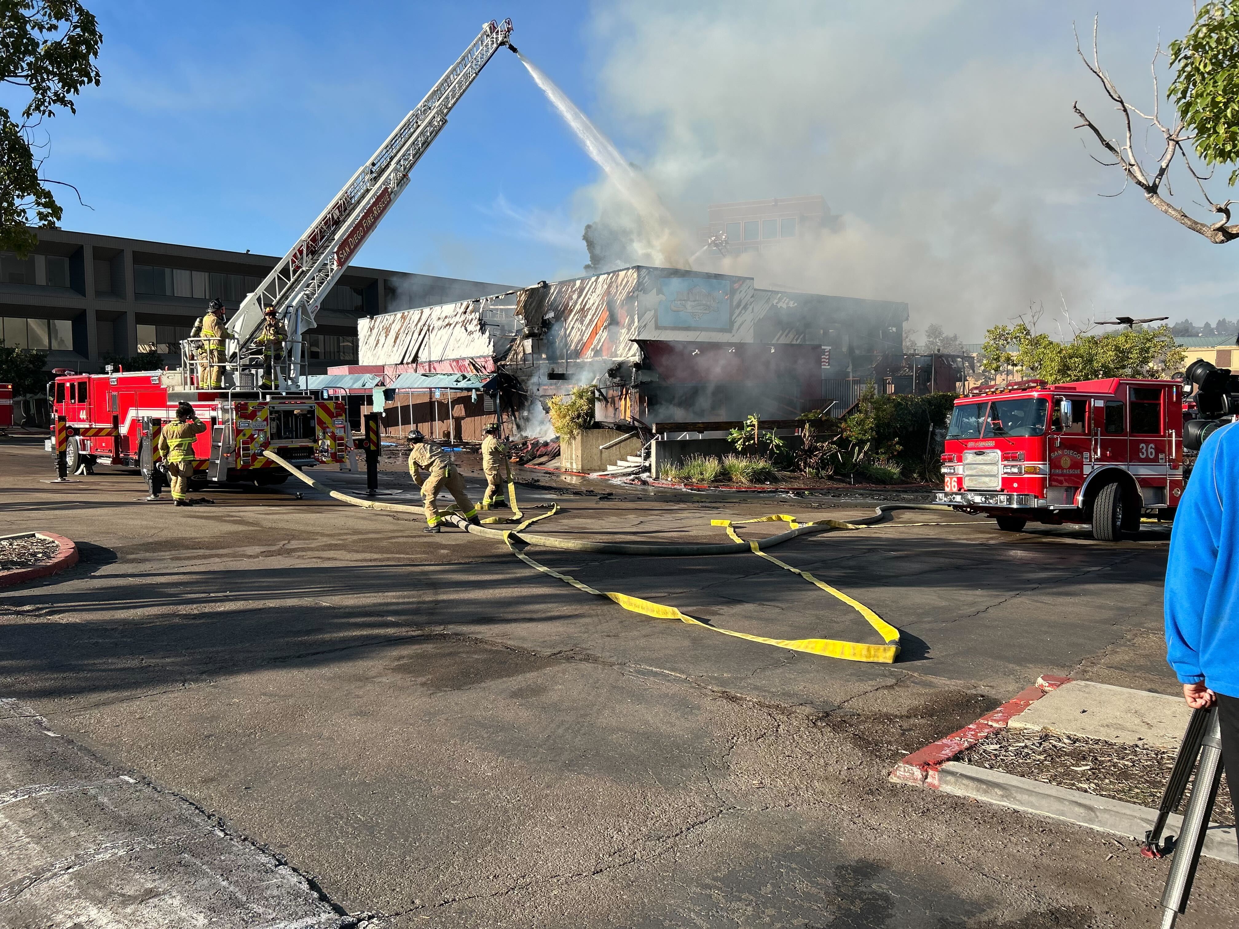
The San Diego Fire-Rescue Department is using high-tech tools to fight wildfires, to hopefully minimize the devastating impact they could have.
The department is part of the General Atomic Pilot Project--which gives firefighters access to infrared sensor technology onboard an aircraft flying 18,000-feet in the sky.
The sensors or cameras are able to provide video of fires through smoke, telling firefighters exactly where the fire is, almost in real time.
The technology was used just last week during the fires raging in Northern California.
"To see that picture and understand infrastructure and homes and lives are at risk in the near term future will let you put resources in the right place," said Michael Scott, Emerging Technology Program Manager for SDFD.
Scott told NBC 7, once firefighters know where the flames are, they're able to use their Wifire program to forecast where the fire could go and grow over a six-hour period of time.
"We need that kind of technology so that we can be preventive in everything we do," said Tammy Gregg who lives in Rancho Bernardo, an area where more than 1,100 homes and buildings burned in 2007 during the Witch Creek Fire.
Local
Prevention and preparation for the fire department has meant studying high-risk areas, mapping them out and putting together what's called a Wildland Plan.
It’s a web-based list of information on evacuation plans, homes and buildings at risk and other critical information.
"The ultimate goal is to improve decision making," said Scott.
Technology can definitely help mitigate fire dangers but when the wind starts blowing, Mother Nature is in control, Scott added.
Scott helped battled the Cedar Fire and is a former fire chief.


