San Diego weather today: Angelica Campos’ forecast for Feb. 14, 2025.
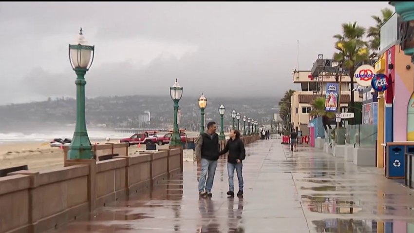
The brunt of this week's storm moved through parts of San Diego County on Thursday night, but the heavy rain was expected to begin tapering off early Friday.
The most powerful storm of the season so far was impacting much of the West Coast as it made its way from Northern California all the way down south. Rainy weather in San Diego was spread out in two rounds of rain over three days, starting on Wednesday.
NBC 7 meteorologist Francella Perez said rainfall rates would range between half an inch to three-quarters of an inch per hour. Those rates could cause some flooding, which is why the National Weather Service issued a flood watch for the coast, valleys and mountains from 10 a.m. Thursday to 4 a.m. Friday.
Get top local stories in San Diego delivered to you every morning. Sign up for NBC San Diego's News Headlines newsletter.
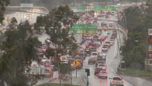
Wet roadways Thursday morning did cause some accidents, including two involving semi-trucks that jackknifed on freeways, but the heaviest rain was yet to come.
By 7 p.m., the most intense rainfall was over Orange County. It finally touched in San Diego County — first in the northern part — between 8 and 9 p.m., according to Perez.
Heavy rain in North County caused some minor flooding by 8:30 p.m., prompting the NWS to issue a flood advisory that impacted Oceanside, Carlsbad, Vista, Encinitas, Poway, Ramona, Del Mar, Valley Center, Julian and Tierrasanta until midnight.
The Escondido Creek started flowing over Country Club Drive in Harmony Grove in unincorporated Escondido Thursday morning, but the road was too deep to cross by nighttime. Closed road signs were put up, impacting hundreds of families who rely on that road to come and go from their homes. One Amazon delivery driver wasn't able to pass through at all.

The storm then pushed further south, hitting San Diego's metro area the hardest between 9 and 10 p.m. and moving across the county slowly through midnight.
The heavy rain was expected to begin tapering off early Friday morning, but the region would still get some scattered showers through Friday.
"By Friday night, things are going to be diminishing, and the rain will be moving out," Perez said.

By the time the storm is through, it's possible the coast could see up to 2.5 inches of rain, the valleys could see up to 3 and the mountains up to 4. Even the deserts could see some measurable rain.
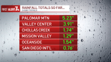
Palomar Mountain received more than 3-and-a-half inches of rain by Thursday night, while Lake Cuyamaca got more than 2 inches. Fallbrook saw more than an inch and a half, and San Diego International had almost a quarter of an inch.

Strong, gusty winds for the mountains and deserts, with gusts potentially reaching 65-75 mph, were possible during the storm, according to the NWS. A wind advisory for the mountains and deserts started at 10 a.m. Thursday and lasts until 4 a.m. Saturday.
Because this storm is associated with an atmospheric river, it's warmer in nature, and, therefore, the snow levels stayed relatively high, up above 7,000 feet. So, snow was unlikely other than a light dusting at the highest peaks (Mount Laguna, Palomar Mountain).
Three-day rainfall totals so far
City preps
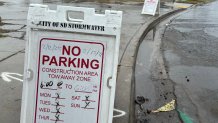
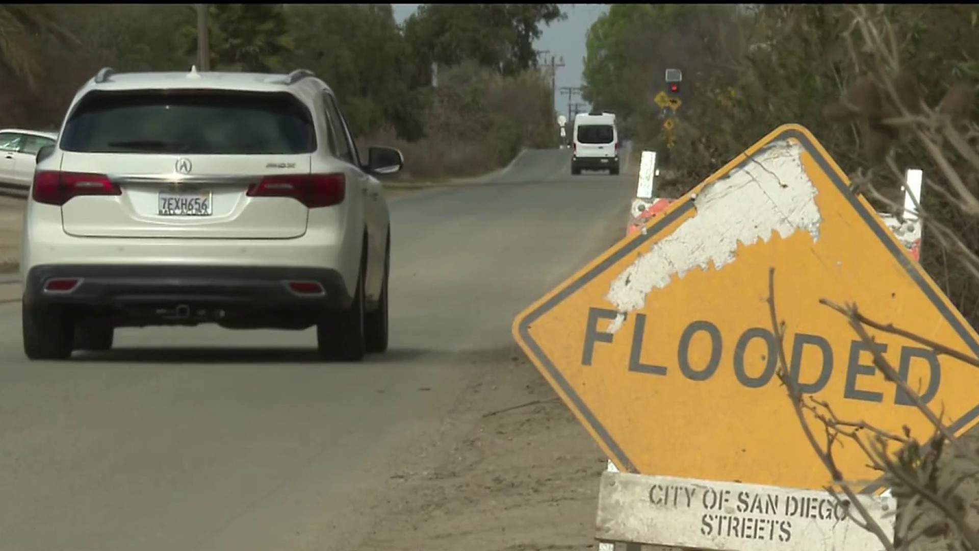
The city of San Diego prepared for the weather by monitoring 46,000 storm drains and will preemptively close flood-prone Mission Valley roads if needed.
In the neighborhood of Southcrest, which saw destructive flooding in January 2024, the city placed "no parking" signs along streets.
"As we prepare for upcoming rain this week, our dedicated city employees have been working to ensure that key stormwater infrastructure is well-maintained," Stormwater Department Director Todd Snyder said. "While we're taking proactive measures, we encourage residents to take steps in their own homes and neighborhoods to be prepared as well. Together we can help reduce flood risk in our community throughout this rainy season."
Residents can report storm-related issues, such as flooding or downed trees, by using the Get It Done app or by calling 619-527-7500. People experiencing a life-threatening emergency were advised to call 911.
Storm bears down on San Diego

Sandbags are also available at locations across the county, including in limited supply at 11 city of San Diego recreation centers centrally located in each City Council district. Sandbags are limited to 10 bags per city of San Diego household or business, and sand is not provided.
San Diego Gas & Electric is increasing the number of crews available in case of downed power lines.
"The company's meteorology team is also monitoring weather conditions minute-by-minute to help provide situational awareness to front-line crews working to maintain the infrastructure that serves the region," according to a statement from the utility.