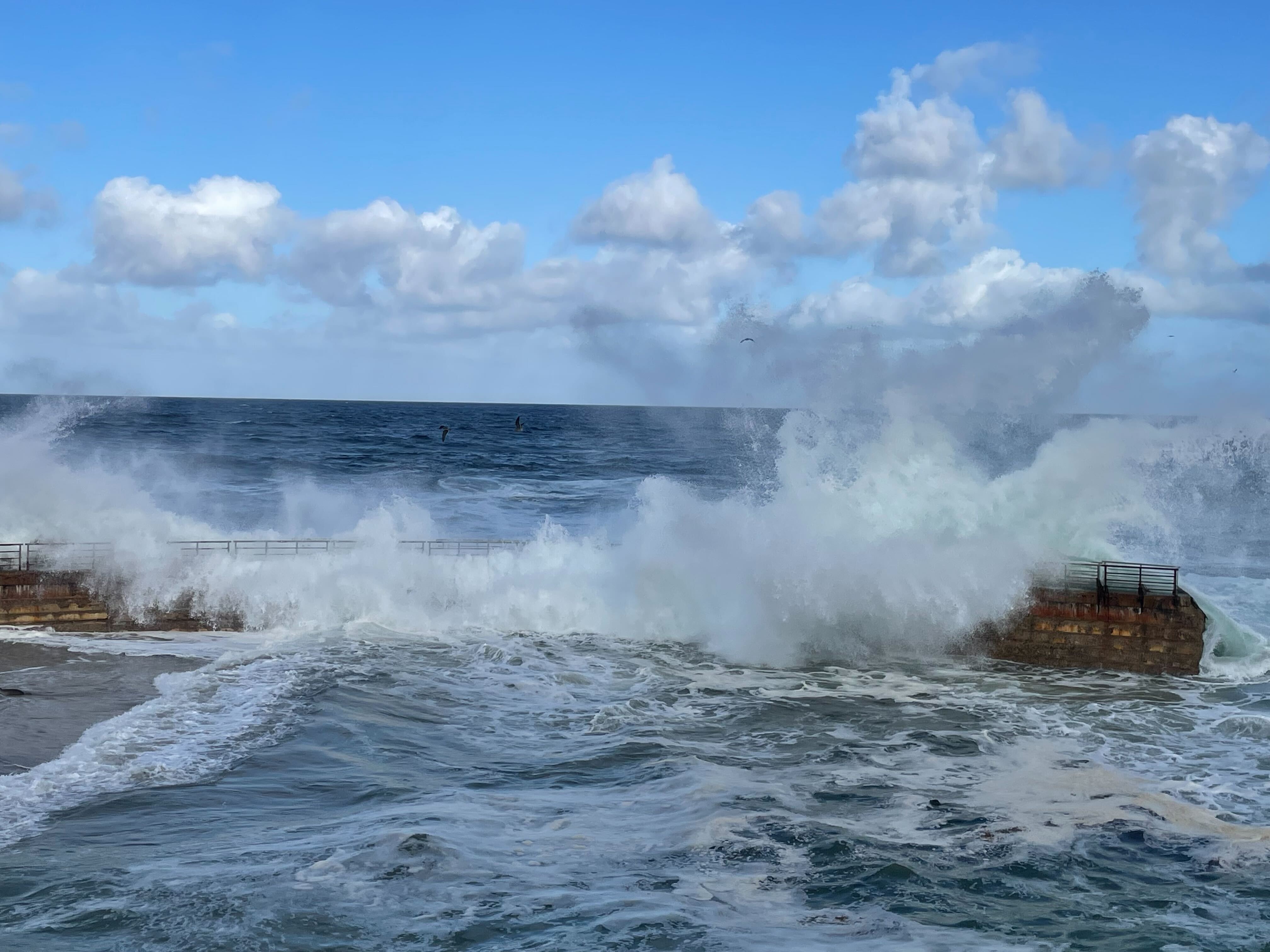
San Diego County was doused with downpours and snow as a powerful storm system, the second of the holiday week, swept across the region Thursday.
The brunt of the storm dumped buckets of rain on coastal cities at about midnight and by about 4 a.m., there was nearly no part of the county that was dry as the storm pushed east.
By about 5:30 a.m., about a half-inch to an inch of rain had fallen, according to the National Weather Service. That much rain was likely to cause urban runoff and flooding, prompting the NWS to issue a flood advisory for areas like Chula Vista, Oceanside, Carlsbad, Temecula, El Cajon, Vista, San Clemente, Encinitas, National City, and La Mesa.
Morning commuters were hit by hard rain and created dangerous driving conditions that caused several spinouts and crashes.
On Interstate 5 near Via de la Valle, a semi-truck jackknifed on the wet roadways and spilled fuel onto southbound lanes. The crash forced a temporary closure of the freeway.
Heavy downpours were expected to last through about 10 a.m. and taper off significantly from there, leaving just a chance of scattered showers for the rest of the day Thursday.
Local
In the mountains, snow flurries were falling on Christmas Eve, leaving a blanket of snow on the ground Thursday morning.
Two feet of snow or more was expected to fall on San Diego County mountains with elevations above 6,000 feet, like Palomar Mountain and Mount Laguna, by the time the storm system moves out of the area on Friday.
While locals may want to flock to see the fresh powder, California Highway Patrol and meteorologists urged drivers to avoid the roadways on Thursday and wait until the weekend for their first look.
A Winter Storm Warning was issued from 4 a.m. to 6 p.m. Thursday due to the hazardous conditions. During that time, travel conditions will be difficult as snow accumulates.
The NWS said the storm watch includes the cities of Julian and Pine Valley, which could see snow accumulations of four to eight inches below 4,000 feet of elevation.
"I would not recommend going up to the mountains (Thursday) to enjoy some of that snow," Mattews said. "Wait until Friday afternoon and over the weekend because that's when that storm system will finally make its way through."
The NWS warned of "significant reductions in visibility" amid snow and dense fog and said strong, gusty east to southeast winds are also possible. This could cause branches to split off trees and fall onto roadways.
In areas between 5,000 and 6,000 feet, the NWS forecasted between eight and 16 inches of snow. In areas of more than 5,000 feet of elevation -- such as Palomar Mountain (6,138 feet) and Mount Laguna (6,271 feet), between 16 and 24 inches of snow was possible.
Drivers should be prepared for potential road closures leading to the mountains and equip their tires with chains.


